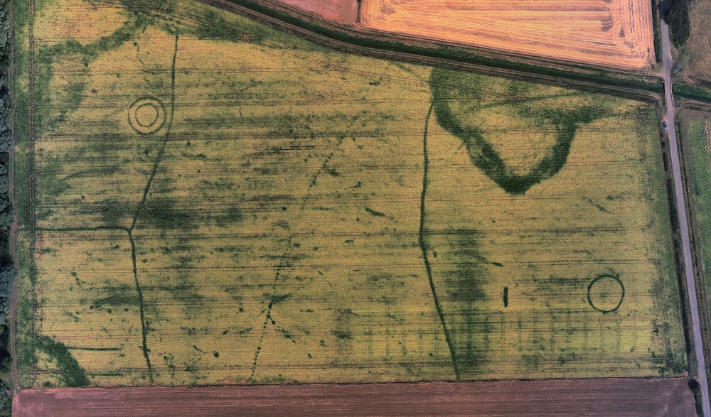
The unusual mix of extended wet and dry periods this summer has not pleased farmers but has been good for Welland Valley crop marks. As well as the interesting features seen recently in Bainton it has been possible to capture good images at Baston, Maxey and Helpston. The image above was taken by local pilot David Leggett and was followed up with more systematic drone photography.
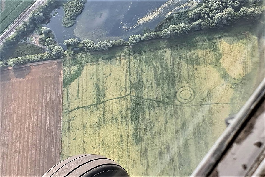
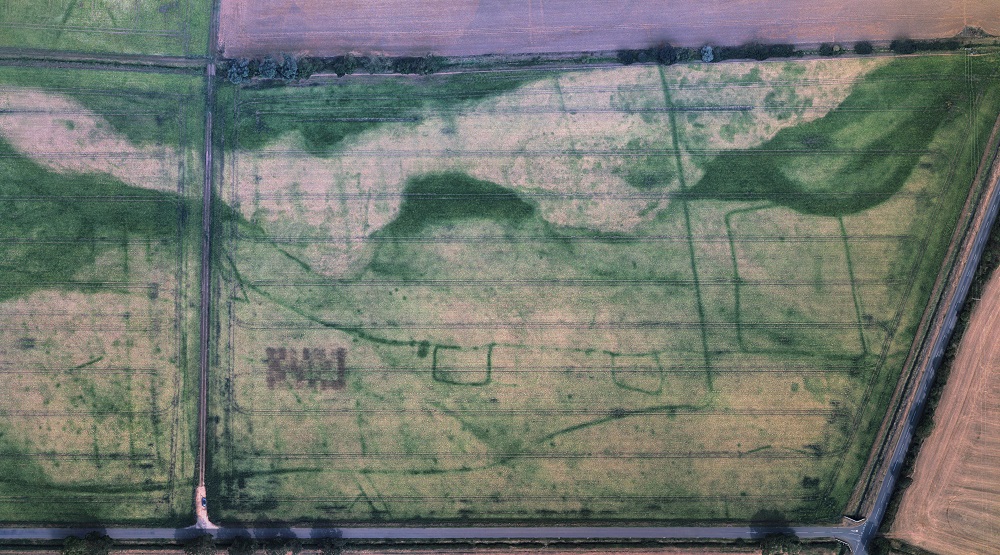
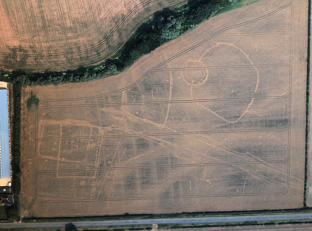
Ditches created by farmers from the Bronze Age onwards cut into the underlying gravel. They were long ago filled by silts and soil which enable them to hold water for better development of growing plants. Curiously, sugar beet has been particularly effective in revealing secrets of the past this year.
The images are often complex and confusing – showing field patterns, settlements and monuments that have existed over thousands of years. In case you are interested in studying and interpreting these sites further there are links to a website where the images are overlaid on a satellite base map and you can zoom in on the detail.
These locations are popular for gravel quarrying and over the recent years there has been a series of archaeological surveys prior to extraction. The archaeology may be destroyed but the surveys are starting to allow a deeper understanding of land-use and settlement.
Baston
Maxey – Lolham
Helpston