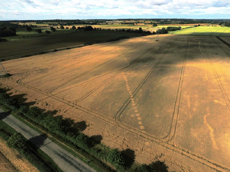
Crop marks have been spotted near Bainton, including a clear pit alignment which if similar to one excavated in the 1960s at Tallington may well date from the Bronze Age. Bainton lies on the south side of the Welland valley which is well known for its prehistoric remains and ceremonial landscape.
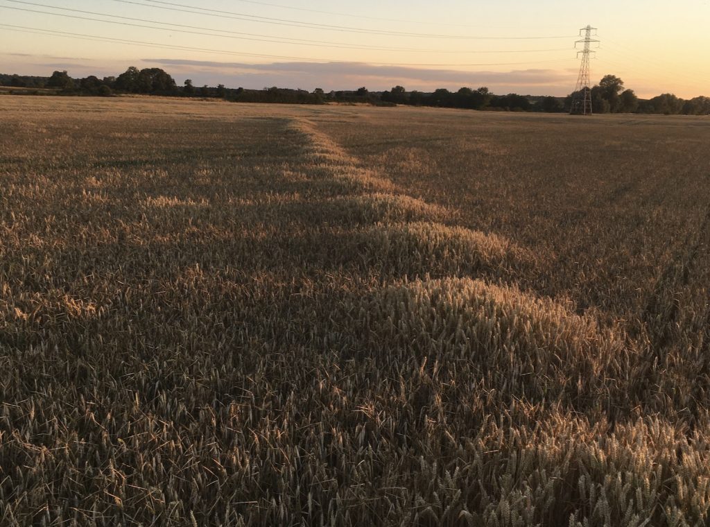
The marks seem to have been more apparent at ground level than is usually the case. This photo taken in low sun catches the slightly taller wheat growing in the intermittent pits of the alignment:
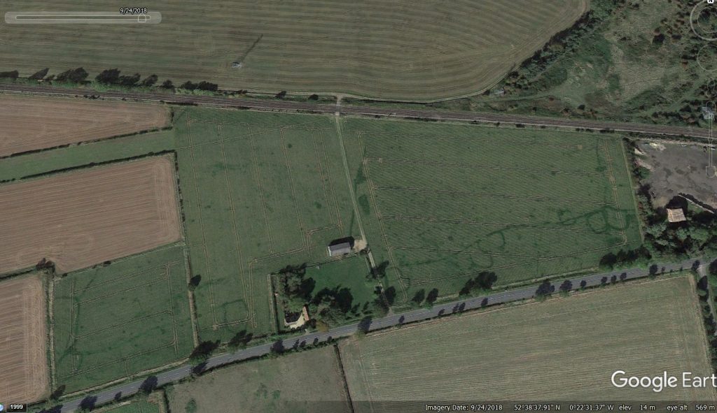
And satellite images point to a network of boundaries, tumuli and settlements in the area:
Local residents and FRAG members are collating information on these marks. If you have seen others in the area – or you can point to reports, aerial photographs, satellite images etc which might help us build a better understanding then please contact: enquiries@peterborougharchaeology.org
Pit alignments are a feature found quite commonly in the late Bronze Age and early Iron Age landscape. Their purpose is poorly understood. They are most commonly interpreted as an early form of boundary – perhaps with an associated bank (no longer evident). They are frequently in the vicinity of barrows, and in areas with underlying gravel. Excavations at Tallington and west of Maxey in the 1960s provide useful extra information; these are written up in EAA Report 61 of 1993:

