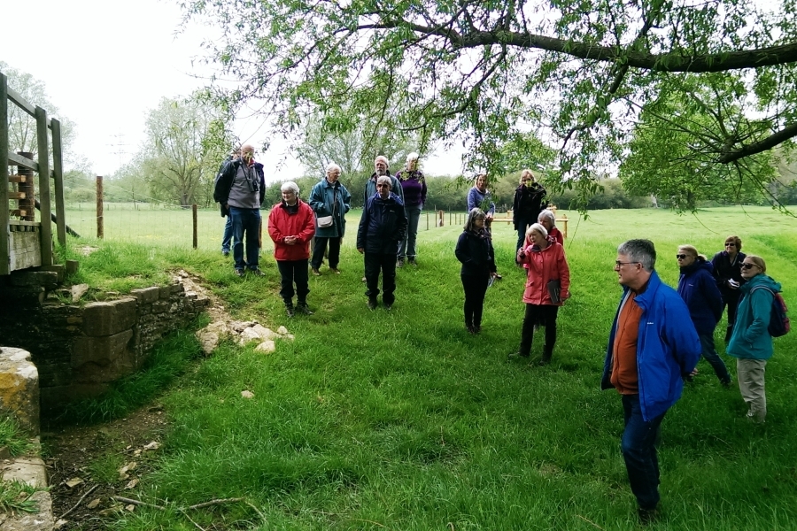
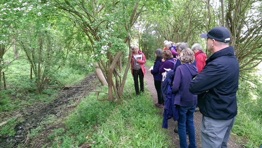
We had a really interesting walk along a section of the Stamford Canal led by Maggie Ashcroft from the West Deeping Heritage Group. The canal was an important part of Stamford history and at different stages divided the leading local families. There was a good turnout for the walk even though we had a second FRAG event happening on the same day (excavation at Fane Road allotments).
We were able to combine fascinating history, a beautiful rural ramble, convivial company – not to mention a good lunch at the Bertie Arms.
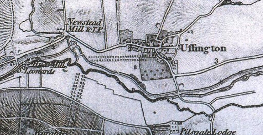
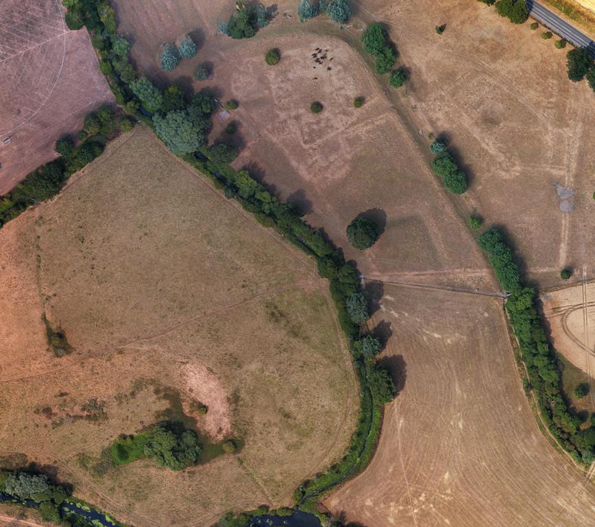
Our walk took us in an anti-clockwise direction around Uffington Park taking in the lumps and bumps of Newstead, the intersection with the River Gwash, and the Barnack Road bridge. We were also able to visit a portion of the canal in the grounds of Copthill School. We are grateful to the landowner at Uffington and to Copthill School for allowing us to venture onto private land.
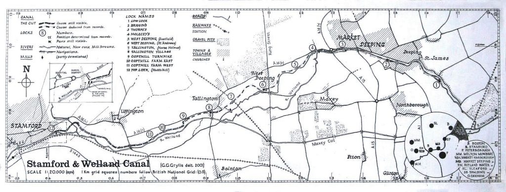
The canal was one of the earliest in the country, built to make the River Welland navigable to Stamford. It was fully navigable by 1673 and remained in operation until 1863. It is still possible to to identify the course of the canal and see bridges, locks and other features amongst the undergrowth. There were 12 locks to handle the drop of 13m between Stamford and Deeping St James.
There is a mine of information about the Stamford Canal on the West Deeping Heritage Group website.
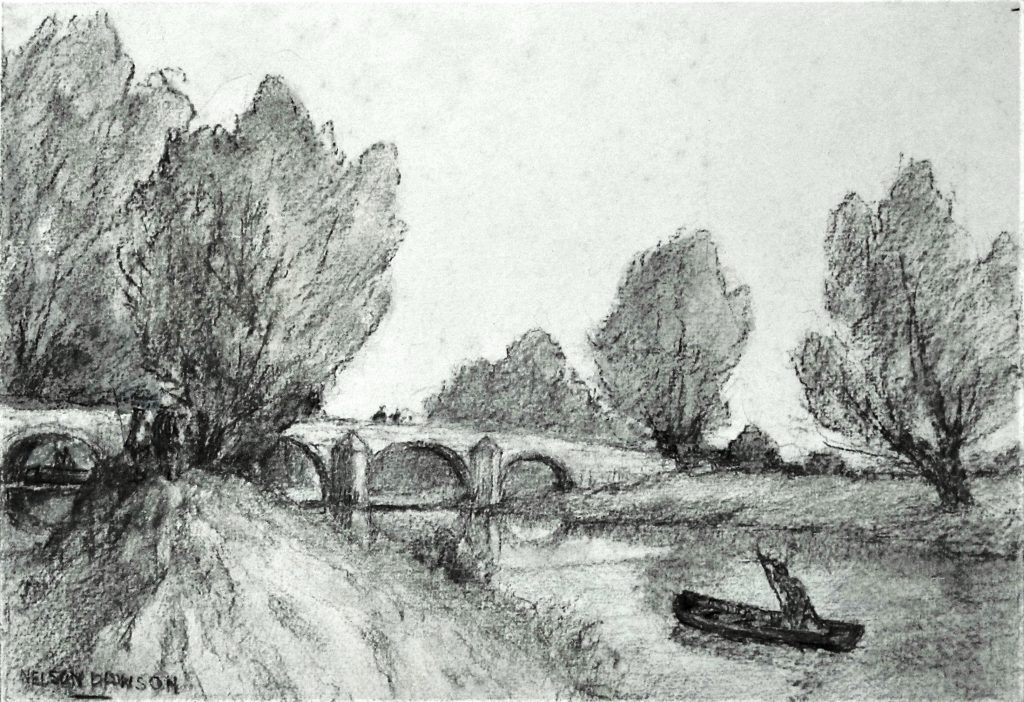
The images below are taken from the leaflet prepared for this walk.