Led by archaeologists from the Cambridge Archaeological Unit a large scale auger survey is taking place at Flag Fen.
Whilst there have been previous attempts to visualise the Bronze Age landscape in which the Flag Fen causeway is located, this new survey aims to achieve more precise measurement of the prehistoric land surface and waterways.
By mapping the ancient ground surface and deposits, archaeologists will be able to place the monument within its full context — helping to interpret its original use, informing future excavation, and assessing the damage being done to surviving timbers as the ground continues to dry.
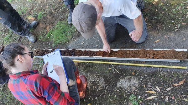
There will be over 200 auger points and test pits across an area of 55-hectares. There will also be targeted test pits.
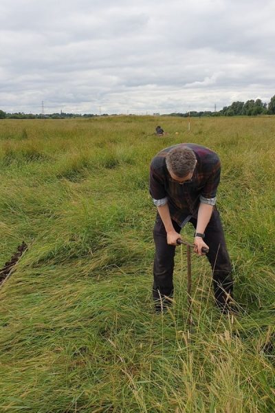
At each survey point the auger is driven into the ground to produce 20cm “spits” until the underlying geological layers are found.
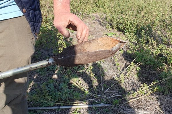
The “natural” clays, sands and gravels lie anywhere from a metre to 4 metres below the modern ground surface.
Phil highlights the soils which would have made up the Neolithic ground surface. The team is particularly interested in the peaty layers above which would have been deposited since the early Bronze Age, 4,000 years ago.
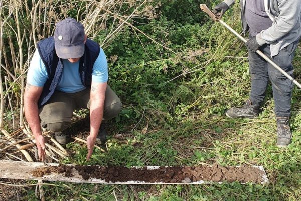
Auger Point 84 lies close to the small lake at Flag Fen, close to the Flag Fen “platform”, and where the ancient waterway was at its deepest. We experimented with a plunge auger to sample the semi liquid deposits which extended to nearly 4 metres.
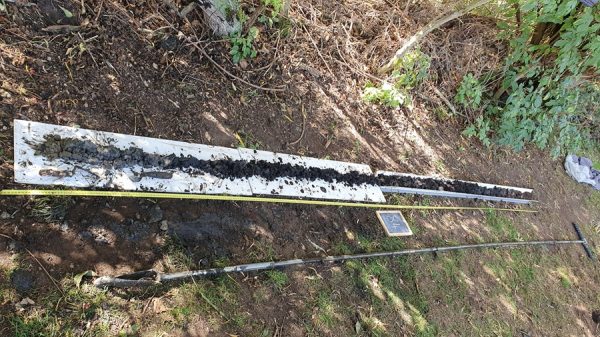
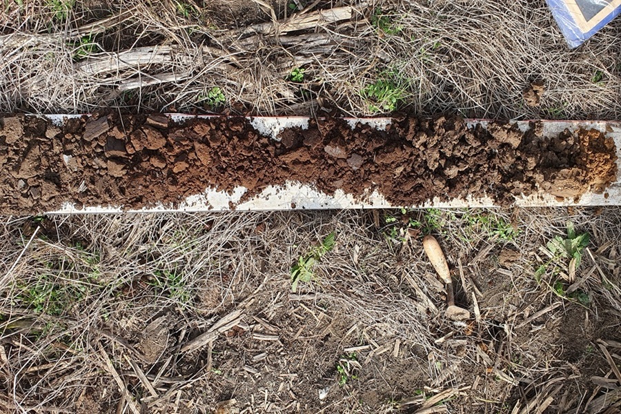
All 4m of the deposit exposed. The peaty silts at the lower levels included preserved wood fragments.
AP160 looks a little different. Of course – we’ve just intercepted the gravels of the Roman “Fen Causeway”!
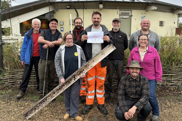
A mix of jubilation as over 200 holes completed, and disappointment that the team is disbanding.
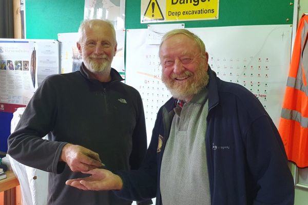
Francis Pryor is awarded the ASB (Auger Survey Badge) by Mark Knight.
On behalf of the volunteers (including a number of FRAG members) I would like to thank Mark Knight, Chris Wakefield, Kieran Sidlow and the rest of the CAU and Flag Fen team. They have been exceptionally welcoming, and generous in taking time to explain objectives, techniques and findings.
We really appreciate the chance for hands on learning at this very special site.
Rex Gibson
September 2025

